ko14912.
book/
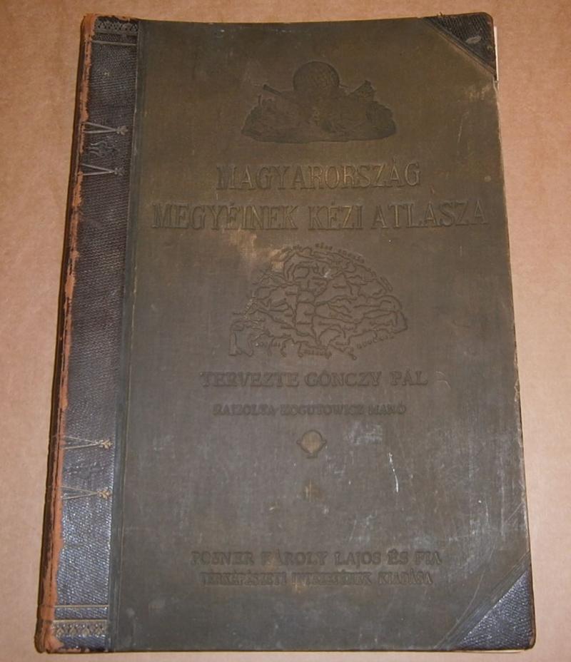
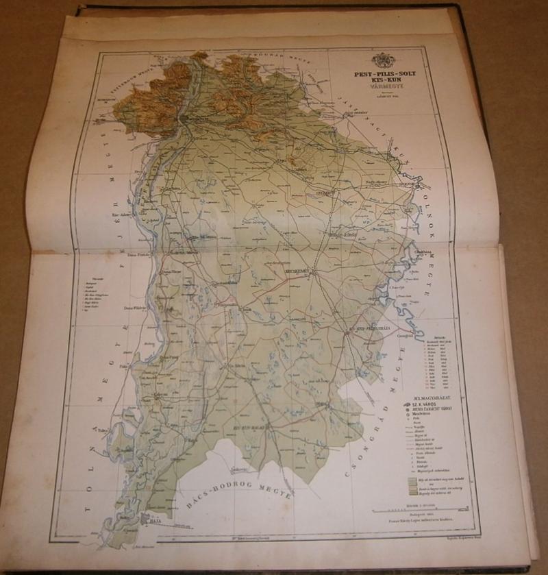
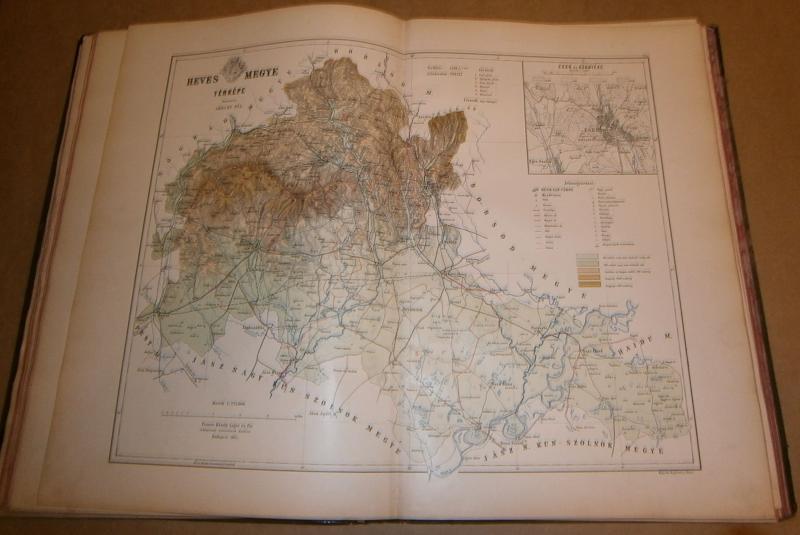
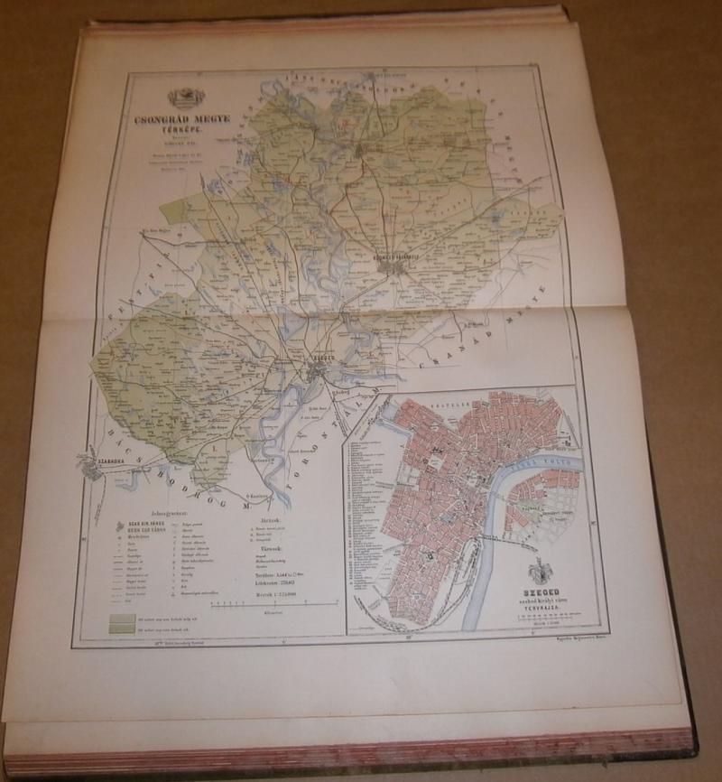
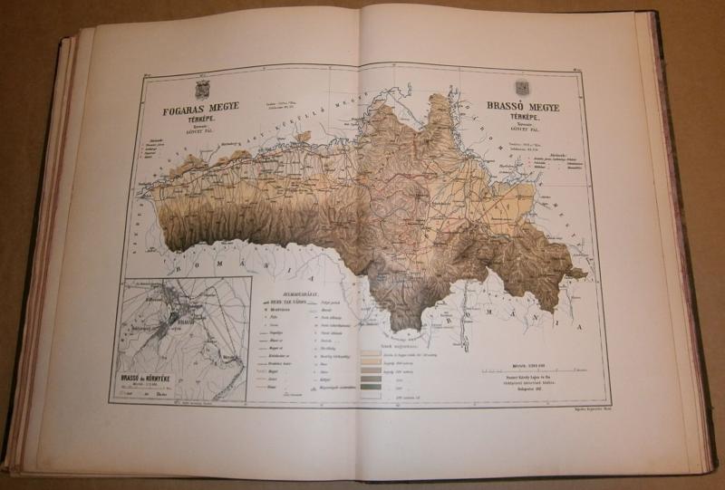
geography, cartography, travelGönczy Pál (tervezte)-. Kogutowicz Manó(rajzolta): Magyarország megyéinek kézi atlasza.
Budapest. ca.1890. Posner. halfleather. Hungarian language.
size: 45x31 cm. small rip on spine.
SOLD
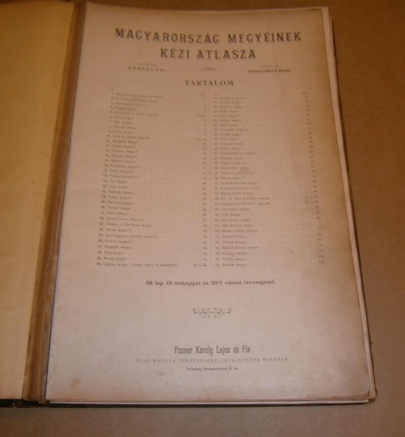
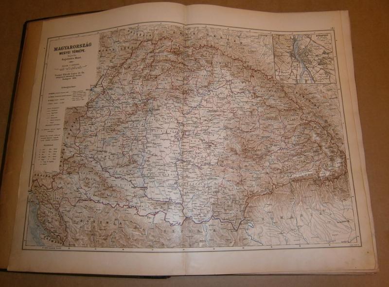
73 vármegyetérkép.A megyetérképek szélén, számos várostérkép. A térképek nagyobb része kétlapos.
Néhány lapon ceruzás bejegyzés.
Teljes.
all pictures in large