te1070.
map/
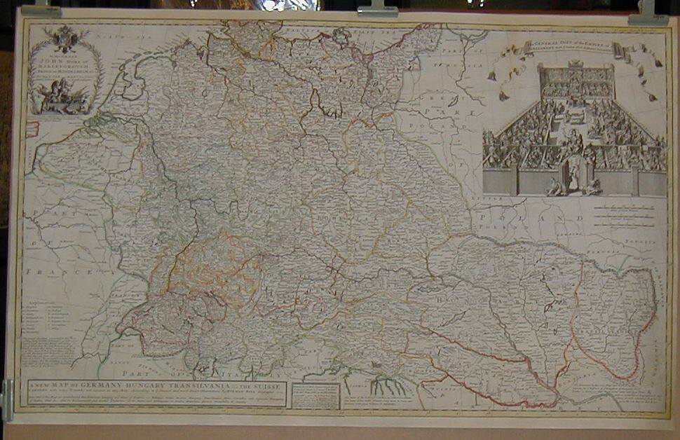
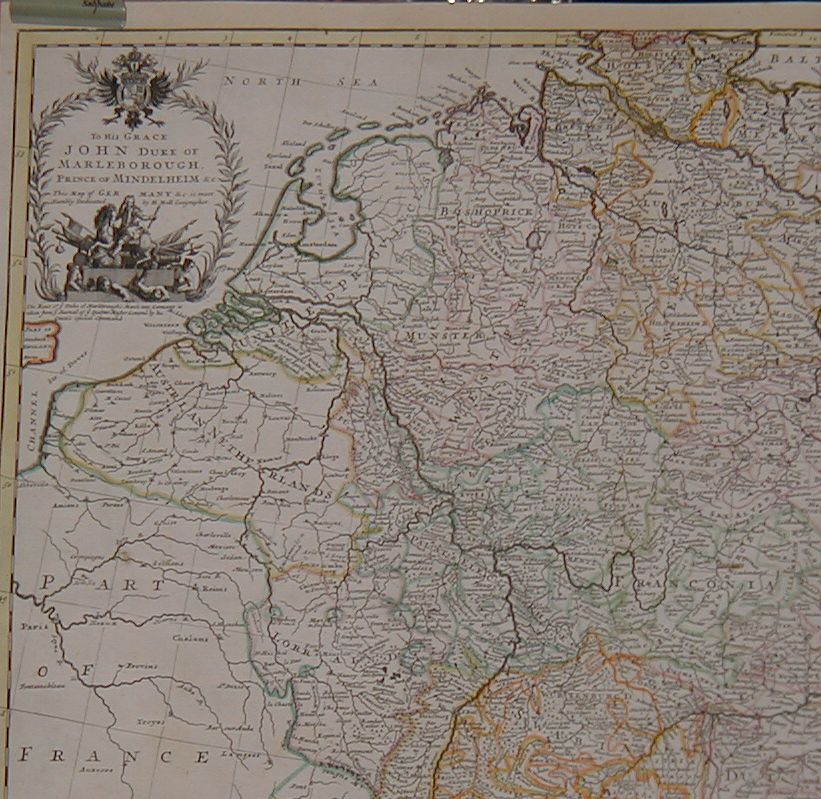
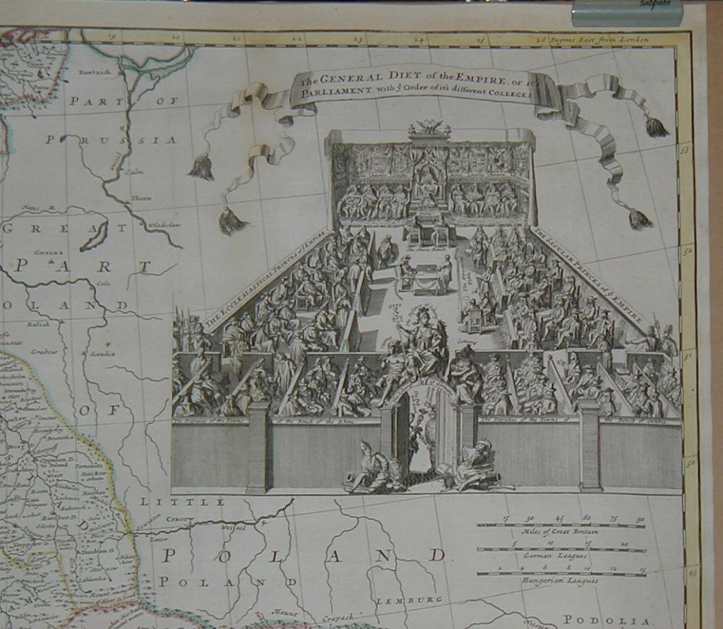
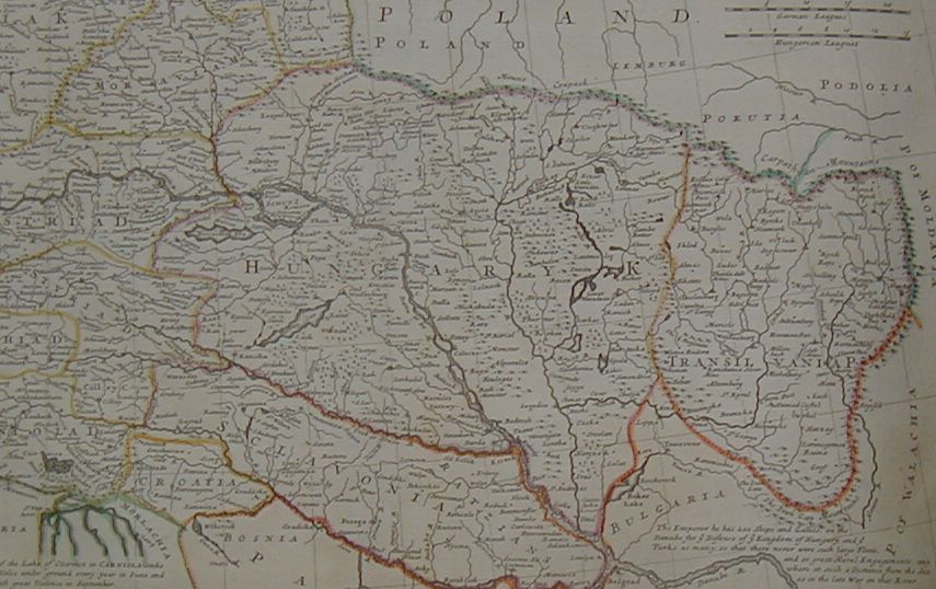
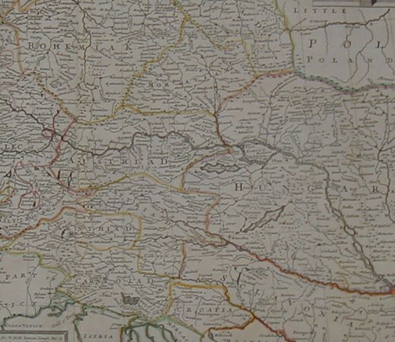
GermanyMoll, Hermann: "A new map of Germany. Hungary. Transilvania & the Suisse Cantons.
London. 1712. border colored copper engraving.
size: 59x98 cm.
page: 65x103 cm.
clean, sharp issue.
SOLD
Expertly restoration.
A very large and detailed map of Germany, Hungary and Switzerland. Double-page engraved map, printed on two sheets.
all pictures in large